About
Twelve years between the field and the pipeline.
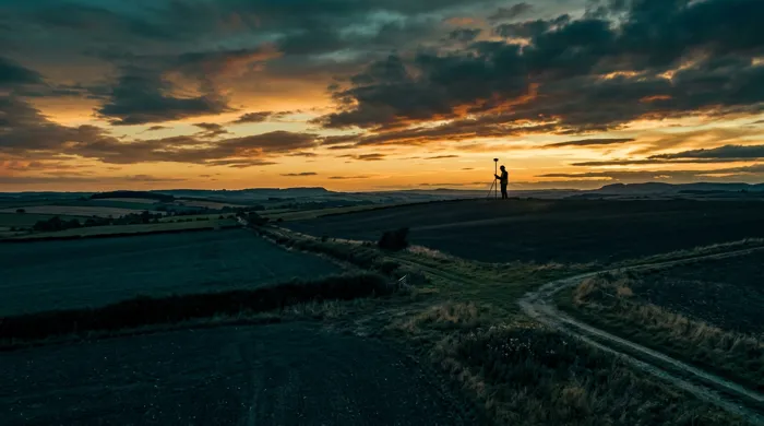
I started out running Total Station and GNSS surveys across southern Nigeria, producing cadastral plans and as-built drawings for land registration. From there the work moved onto major construction sites — setting out 40 km of 30-inch mainline from Soku through the Niger Delta swamps to an offshore riser, and the buildings and kidney-shaped party pool of a beachfront resort. That field discipline now underpins a geospatial consulting practice spanning UAV and LiDAR data acquisition, photogrammetric processing, and machine-learning pipelines that turn imagery into land-cover intelligence.
An Erasmus Mundus Joint Master's in Geospatial Technologies — split across Germany, Spain, and Portugal — sharpened the analytical side: spatial statistics, GI science, and Python-based remote sensing, capped by a thesis on least-cost pipeline routing. Today I am based in Eindhoven, Netherlands, working with clients who need survey-grade data delivered as decision-ready products, not just raw point clouds.
Toolkit
Skills & tools
Career
Experience
2023 — Present
Geospatial Consultant
Goldcrest Geospatial Solutions·Lisbon, Portugal
Leading UAV and LiDAR survey campaigns and building GeoAI pipelines that turn raw point clouds and imagery into decisions clients can act on.
2013 — 2021
Registered Land Surveyor
Independent Survey Practice·Lagos & Enugu, Nigeria
Ran cadastral, engineering, and topographic surveys across southern Nigeria using Total Station and GNSS equipment, laying the field foundation the geospatial work builds on today.
- Construction and as-built surveys on the 40 km, 30-inch Soku–offshore ERP riser mainline, from swamp right-of-way through the beach shore approach.
- Setting out and levelling for Koko Beach Hotels & Suites in Lagos, including the kidney-shaped party pool and beachfront villas.
- Hydrographic and bathymetric sounding campaigns on Niger Delta creeks and river crossings.
Foundation
Education
2021 — 2023
Erasmus Mundus Joint Master's, Geospatial Technologies
WWU Münster · UJI Castellón · NOVA IMS Lisbon
A joint European program spanning three universities, focused on GI science, remote sensing, and spatial data analysis. Thesis on least-cost path pipeline routing for the 20" ANOH pipeline.
2002 — 2007
BSc, Surveying & Geoinformatics
Nnamdi Azikiwe University
Foundational degree in land surveying, geodesy, and geoinformatics.
Standing
Credentials & memberships
- Registered member, Nigeria Institution of Surveyors (since 2013)
- Erasmus Mundus Joint Master's in Geospatial Technologies
- BSc, Surveying & Geoinformatics, Nnamdi Azikiwe University